AQSurv - AQScan
Realtime Site - Project Data to your inbox in 24 hours* | Make Smart Decisions Fast
The benefits of integrating AQSurv and AQScan into your mining, construction, civl, engineering workflows are transformative, moving you beyond traditional limitations:
Faster Project Timelines:
Rapid Data Acquisition: Drones can cover vast and complex areas in a fraction of the time compared to traditional ground surveys, which are labor-intensive and slower.
Accelerated Decision-Making: With data delivered within 24 hours, you can react quickly to site changes, optimize planning, and avoid costly delays, maintaining momentum on critical projects.
Increased Efficiency: Streamline workflows from initial site analysis and pre-construction planning to ongoing progress monitoring, quality control, and final as-built verification.
Safer Work Environments:
Minimize Human Exposure to Hazards: Drones can inspect dangerous or inaccessible areas like high walls, active blast zones, unstable slopes, or congested construction sites without putting personnel at risk.
Proactive Hazard Identification: Accurate 3D models can reveal potential risks, structural anomalies, or changing ground conditions before they become problems, enhancing overall site safety protocols.
Reduced On-Site Personnel: Less need for extensive ground crews for surveying in hazardous areas, further reducing safety risks and associated costs.
Smarter Resource Management:
Optimized Planning & Design: Precise data leads to more accurate designs, efficient earthwork calculations, optimized haul roads, and reduced material waste, minimizing unexpected expenditures.
Better Progress Monitoring & Quality Control: Track project advancements with high-resolution imagery and accurate volumetric calculations. Compare "as-built" data against "as-designed" plans in real-time, ensuring projects stay on budget and meet specifications.
Informed Decision-Making: Access to a "single point of truth" data empowers project managers, engineers, and stakeholders to make critical choices with confidence and a comprehensive understanding of site conditions.
Enhanced Compliance & Record Keeping: Accurate and regularly updated digital records support regulatory requirements, environmental monitoring, and provide invaluable historical data for future projects or dispute resolution.
Skypxl's AQSurv is not just a service; it's a strategic advantage.
By leveraging the power of drone aerial LiDAR and photogrammetry, delivered with unparalleled speed and accuracy, AQSurv empowers construction and mining professionals to operate faster, safer, and smarter than ever before.
Contact Skypxl today to discover how AQSurv can transform your next project and elevate your operational efficiency.
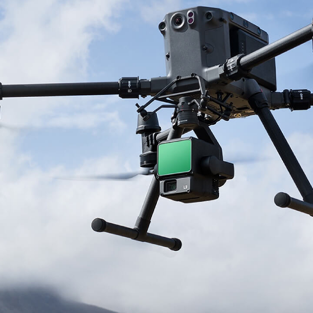
Explore our Drone Fleet & Capabilities


Our Customers


Need more information? Have a question? please get in touch and we will respond quickly.
