
Skypxl - Aerial Intelligence
Discover Our Aerial Solutions
HD Aerial Mapping - Surveying
3D Modelling - Digital Twins

Asset Inspections
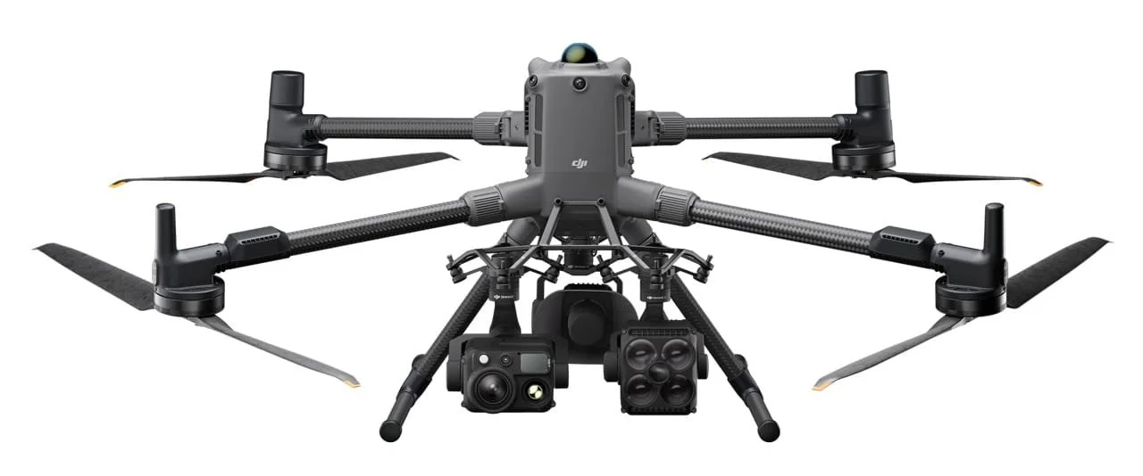
Explore our Drone Fleet & Capabilities


Our Customers


Need more information? Have a question? please get in touch and we will respond quickly.
